The Art of the South Island Road Trip: Avoiding the Sprint Trap
Published by the JourneyAotearoa Editorial Desk • Last revised for the current touring season
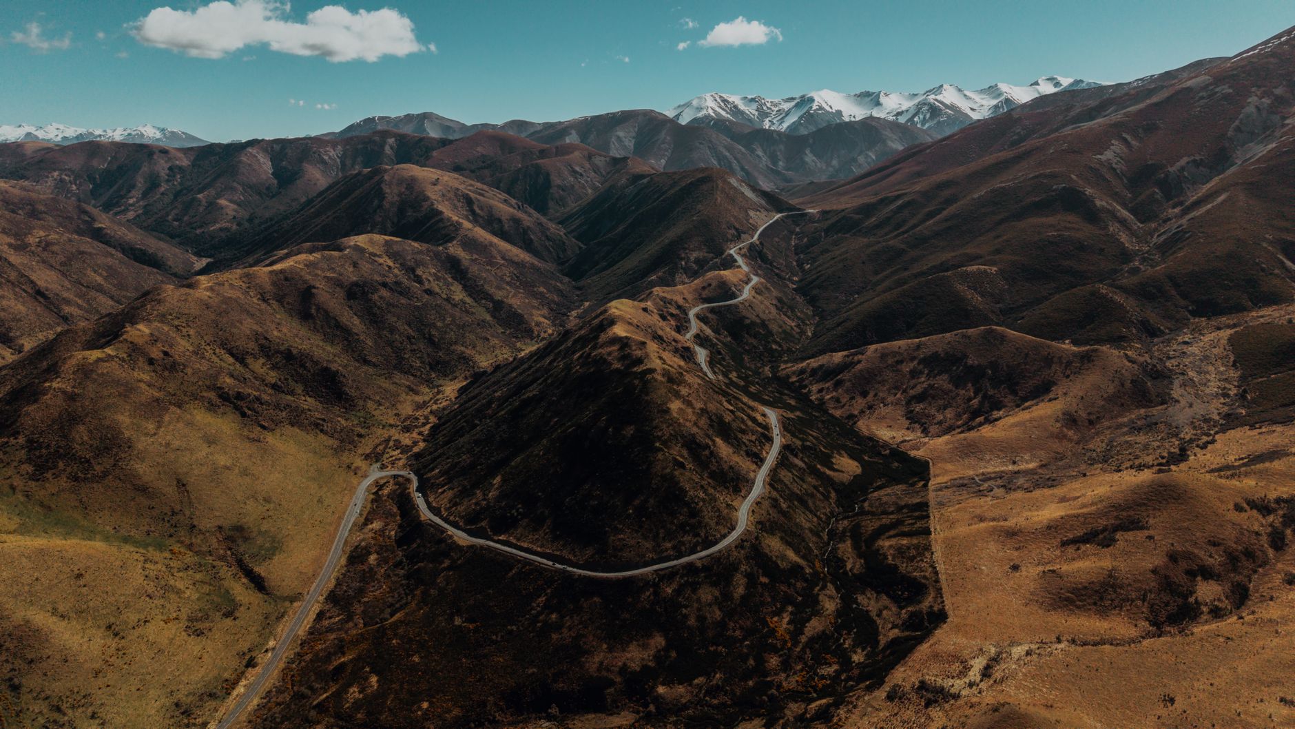
“The map of New Zealand lies to the uninitiated eye. A 200-kilometre stretch that appears as a two-hour cruise on paper will easily demand five hours behind the wheel once one accounts for single-lane bridges, logging trucks, and mountain switchbacks.”
The Illusion of Map Scale in Aotearoa
International visitors arriving in Christchurch or Queenstown frequently fall victim to distance compression. Accustomed to multi-lane divided motorways in Europe or North America, travellers chart loops that stitch together Kaikoura, Franz Josef Glacier, Milford Sound, and Dunedin inside eight days. The inevitable outcome is chronic road fatigue, blurred mountain scenery viewed entirely through insect-smeared windscreens, and missed trailheads.
New Zealand's state highway network, while maintained to rigorous engineering benchmarks, cuts directly through tectonic terrain. Alpine passes such as the Lewis, Arthur's, and Haast passes are subject to rapid weather shifts, sudden rockfall management, and significant speed reductions. When towing a campervan or piloting an unfamiliar rental car on the left side of the road, average speeds rarely exceed 65 to 70 kilometres per hour.
The Two-Night Minimum Principle
Through our work counseling independent travellers, we advocate for the strictly enforced Two-Night Minimum rule. Unless an overnight stop serves purely as a functional junction, no base should be booked for a single night.
- Eliminating unpacked panic: Moving lodgings daily consumes up to four hours of packing, check-in logistics, and vehicle reorganization every morning and late afternoon.
- Weather resilience: Mountain weather in the Southern Alps is notoriously mercurial. A two- or three-night stay in Wanaka or Glenorchy grants a buffer day if cloud cover obscures high alpine viewpoints or cancels boat sailings on lake waters.
- Accessing early morning silence: Popular landmarks such as Lake Matheson or Roys Peak turn crowded between 10:00 AM and 2:00 PM. Stationing yourself within twenty minutes of the trailhead allows sunrise hikes in solitude before tour operators arrive.
Three Slow Travel Alternatives to the Classic Queenstown Loop
Rather than battling high-season coach buses between Queenstown and Te Anau, consider shifting your axis toward lesser-celebrated valleys:
- The Waitaki Valley & Danseys Pass: Transition from the Pacific surf of Oamaru through limestone geological formations, vintage boutique vineyards in Kurow, and high-country sheep stations across historic gravel routes.
- The Catlins Coastal Byway: A wilderness corridor south of Dunedin featuring fossilized Jurassic forests at Curio Bay, secluded waterfalls nestled in temperate rainforest, and yellow-eyed penguin colonies protected by community trusts.
- The Northern Top of the South: Bypassing the far south altogether to link Golden Bay's marble mountains, the calm waters of the Abel Tasman coastal tracks, and Marlborough's remote Pelorus Sound coves accessible only by water taxi.
Planning Your Route?
Our consultants assess your route schedule against historical road maintenance notices and seasonal congestion points.
Get Your Route Reviewed